 |
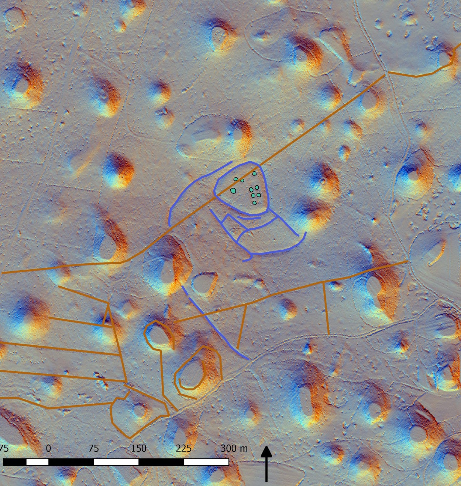
| Part of LiDAR map of surroundings of village Kosovelje with transcriptions of prehistoric hillfort walls, mounds and drywall field boundaries. |
sreda, 29. junij 2016
LiDAR map of archaeological features in the vicinity of village Kosovelje/Slovenia update 29/06/2016
Added few
other rounded shape wall ruins. They form interesting enclosures. Date
is most probably older than Middle ages. Lines in brown color are
drywalls - boundaries of fields, which origin is in a Middle age village land distribution.
Naročite se na:
Objavi komentarje (Atom)
Ni komentarjev:
Objavite komentar